Data Analytics
Public Transport Accessibility in Python | by Milan Janosov | Apr, 2024

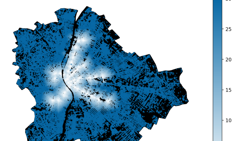
In this piece, I explore the availability of public transport by using GTFS data and Python-based spatial analytics libraries.
Accessible public transport is essential to any livable neighborhood and should be the focus of local governments and urban planners. In this article, I use Budapest as an example…


