Ziama forest: participative mapping for sustainable management of land and resources

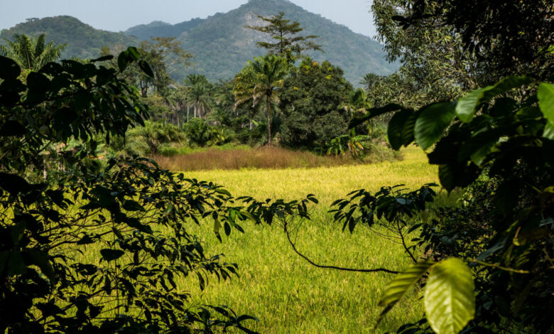
In Ziama forest, a hotbed of exceptional biodiversity in south-east Guinea, sustainable management of land and resources is a crucial issue for neighbouring populations and for conservation of ecosystems that have been weakened by human interventions. This is why, together with inhabitants in 32 neighbouring villages and local administrative authorities, GRET is constructing a land-use planning process. The first step was to produce participative maps of village terroirs, which are essential for planning and enable communities to project their future vision of land use and use of resources that are likely to meet their needs over the long term. A look back at the stages of this joint construction.
Mobilising village communities with the implementation of community management committees
Structuring of community management committees in villages is a prerequisite to mobilisation of inhabitants. “This approach enables communities to understand their responsibilities in the sustainable management of their terroirs and to take ownership of their role”, says Théophile Gnakoi Dopavogui, Natural resource management coordinator at GRET. GRET is working to strengthen the committees’ management capacities and is preparing committee members to conduct mapping and planning exercises.
Making diagnoses to characterise the situation in terroirs
The history of the village, demographic data, natural formations, agropastoral use of space, resources exploited, traditional practices, innovations… Making an initial diagnosis is a crucial step to prepare communities to enter into the participative mapping exercise. This is carried out by the GRET project team based on available data and interviews with key resource persons. The data collected for each village is then presented, making it possible to highlight common points and specificities.
Participative mapping, a crucial stage in land-use planning
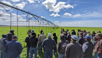
This mapping of land use and use of resources mobilised groups of around forty people per village. It enabled communities to understand the current situation in light of the past and to put forward two scenarios: one extending the current dynamic, the other enabling it to be reversed.
Four maps were produced. The first of these describes the current situation in the terroir. It shows zones of exploitation (woodcutting, palm and coffee plantations, etc.), sacred forests, pig farming sites, water sources, degraded zones, community rivers, swamps, fishponds, etc. The second describes land use and exploitation of resources, approximately twenty years previously. The third presents a 20-year projection, without any change in current practices. And the last one presents the future communities aspire to: land use and exploitation of resources they consider sustainable and capable of meeting their needs over the long term. The land use plan will subsequently be produced based on this map.
“Today, we are delighted with this activity by GRET. It enables us to protect our cultural values and our traditional sites. From now on, we will be respecting the environmental zones and rules”, concludes Saki Soropogui, Chairperson of Kpoda district, a participant in the mapping activity.

This project is funded by the European Union. The content of this article is the sole responsibility of GRET and can in no way be considered as reflecting its financial partner’s point of view.


